 |
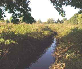
1 The Germany Beck: The defenders stood on firm ground to right. The Vikings had this significant obstacle to cross. Many defender's bodies have shown spear injuries to the pelvis and legs. Were they attacked from below as the Vikings tried to cross the ditch? |
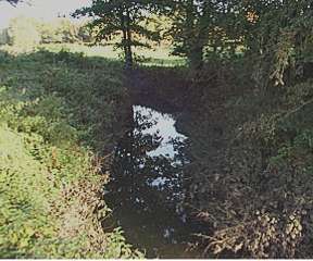 |
2 The Beck near the defender's left flank. With a slope behind and a marsh in front, this was a defensive strongpoint, probably near the site of the ancient ford. The defenders held this position until the end. |
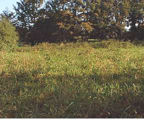 |
3 The swamp leading to the defender's left flank (photo above). The saga says king Harald Hardrada of Norway sent his weak troop forward here. Progress and retreat would be slow as troops waded through the reeds. |
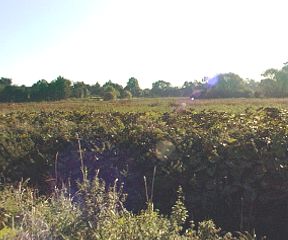 |
4 The marshland view from defender's side of The Beck (their right flank). The defender's stronghold pictured above is on the horizon-centre (about 250 m away) but crucially out of sight of those standing here near the river bank. When this position was lost, the defender's near the ford would not discover until they were surrounded. |
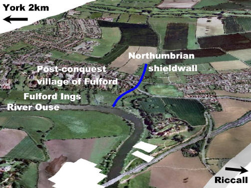 |
5 A 3D view of the battle site with the shieldwall imposed on the landscape. |
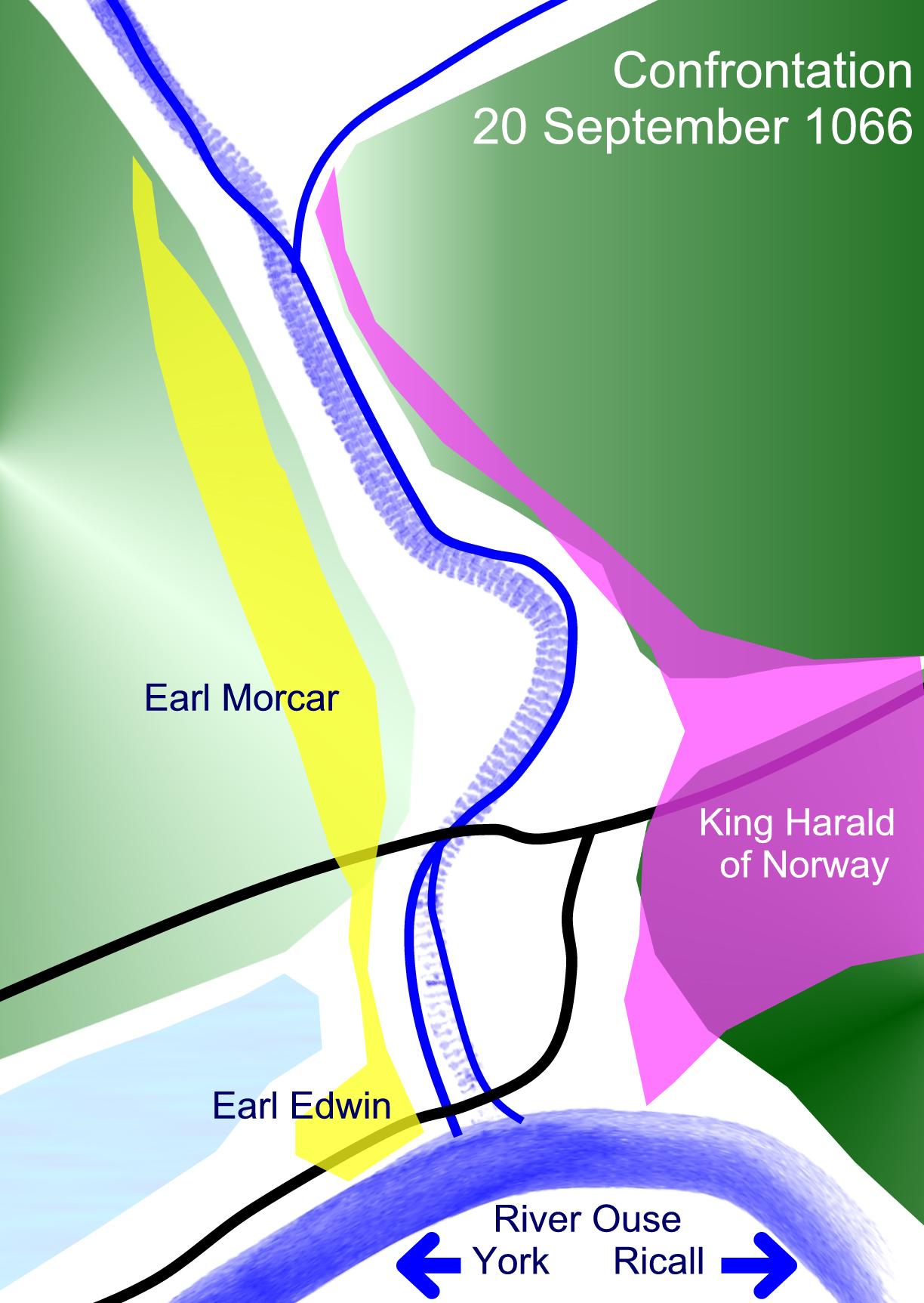 |
6 One of a sequence of sketch maps showing how the battle developed. This shows the positions of the armies just before battle began on 29 September 1066. |
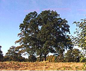 |
7 Near these ancient trees the whole site would have been visible to the approaching Vikings. This is the local high point. King Harald 'Hardrada' and his banner would have been visible to his army. The 2 defender's Earls did not enjoy such a good overview of the battlefield which might explain why they positioned themselves at opposite flanks. |
|
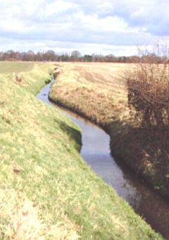
The beck as it might have looked 1000 years ago |
|
 |
9 The Beck to the East as it reaches the Heslington and Walmgate Stray wet-land. This natural drain has been maintained and improved. |
 |
10 One of the key investigations involved taking soil cores. The team from Leeds university took cores nearly7m deep enabling the land to of 1066 to be reconstructed. |
 |
11 Over 5000 items of ferrous material were gathered during the project. These were x-rayed and examined by the experts. |